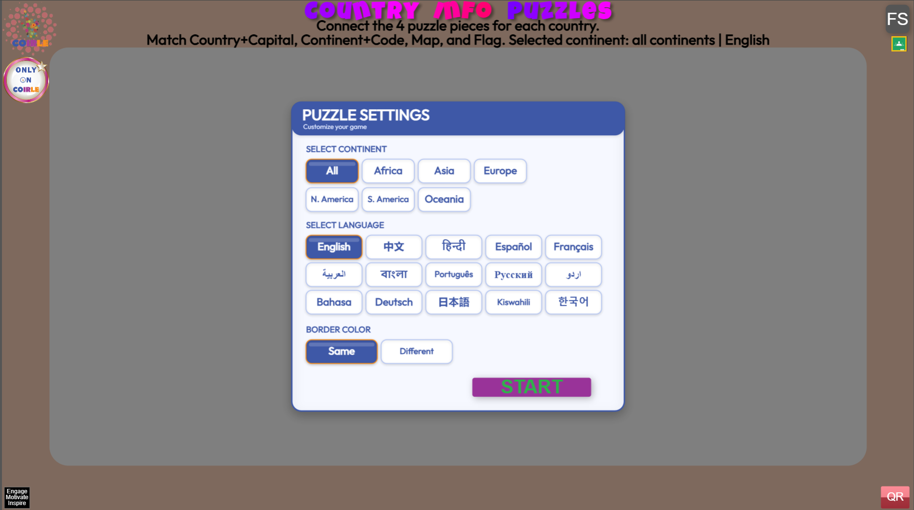
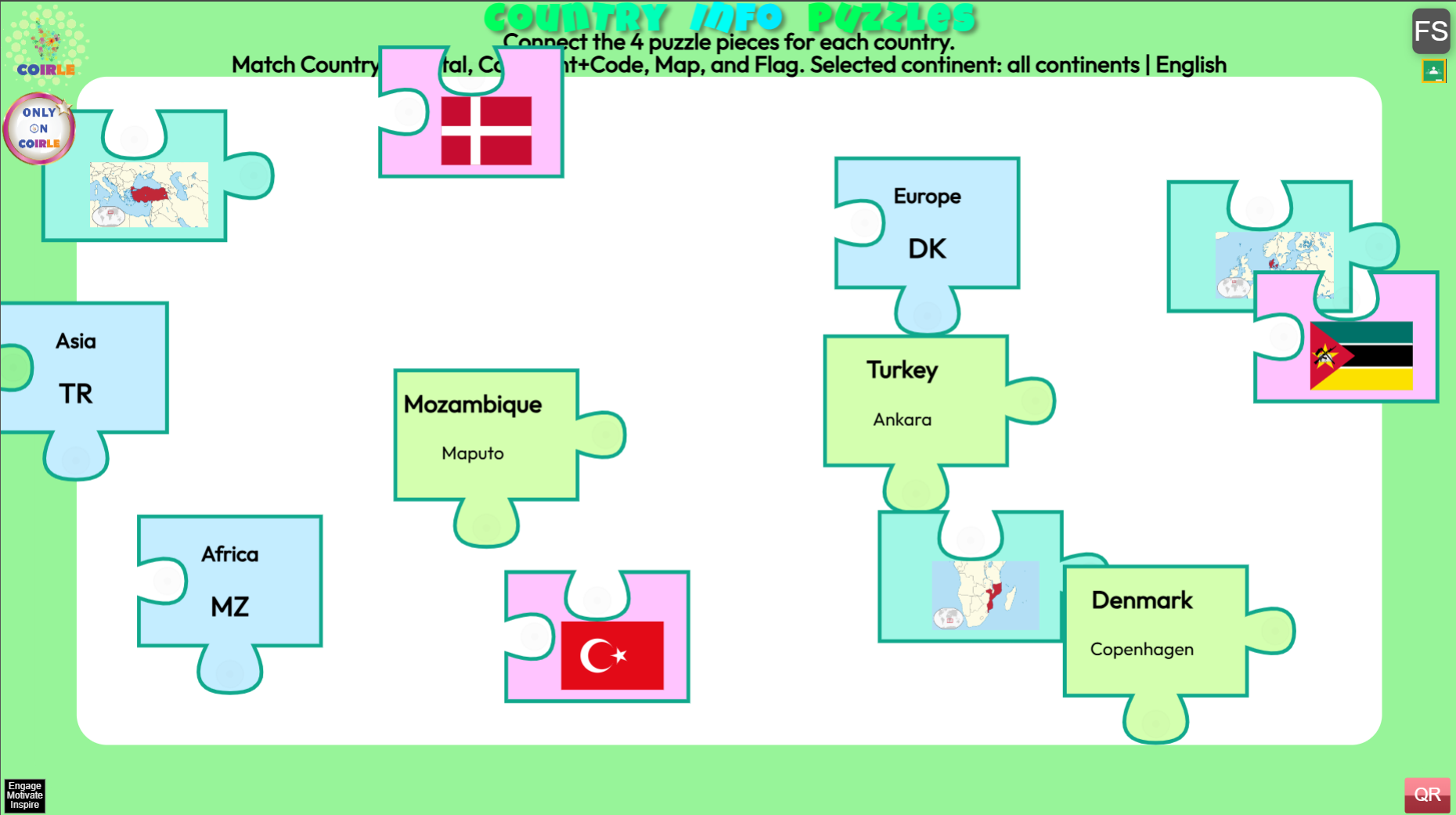
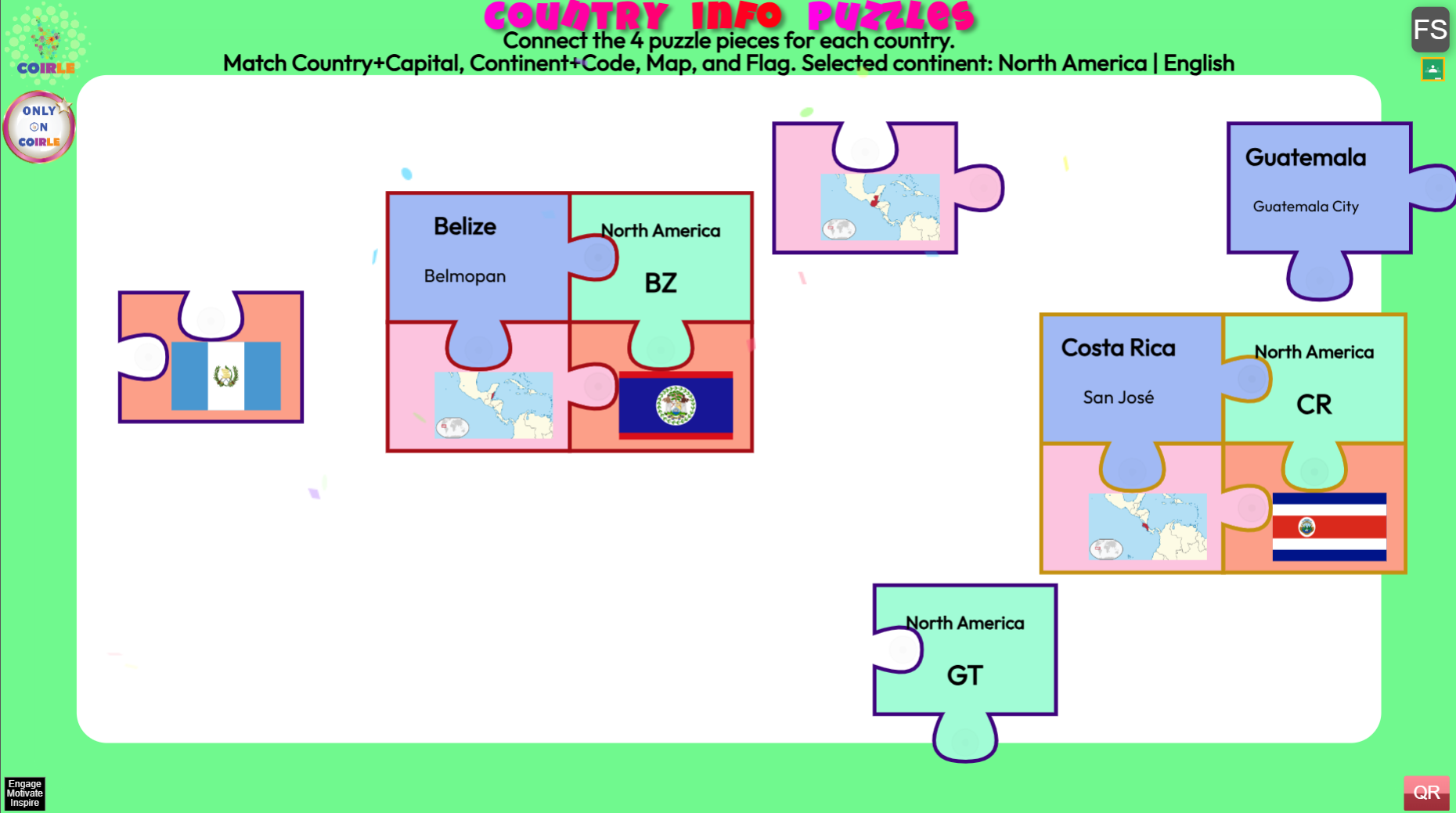
Country Info Puzzles is an educational jigsaw puzzle game that challenges students to match geographical information about countries from around the world. Each country puzzle consists of 4 unique pieces featuring the country’s name and capital, continent and country code, map outline, and national flag.
Drag and connect the puzzle pieces to complete each country.
How to Play
Getting Started
- Select Your Settings – When the game loads, choose your preferences:
- Continent: Filter by specific continents (Africa, Asia, Europe, North America, South America, Oceania) or select “All” for worldwide countries
- Language: Play in your preferred language – choose from English, Chinese, Spanish, French, Arabic, and 10+ other languages
- Border Color: Pick “Same” for uniform country puzzle borders or “Different” for varied colors
- Click START to begin the game
Gameplay
- Drag puzzle pieces around the screen with your mouse or finger
- Each country has 4 puzzle pieces that fit together:
- Country Name + Capital City
- Continent + Country Code (2-letter ISO code)
- Map Outline (shape of the country)
- National Flag
- Connect matching pieces by dragging them close together
- Pieces from the same country will snap together automatically when aligned correctly
- Wrong matches will shake and show an exclamation mark
- Correct matches will trigger a satisfying snap animation and sound
- Complete all country puzzles by connecting all 4 pieces for each country


